What's new in this release for LASSI?
LASSI has been upgraded to the newest version of OpenLayers. OpenLayers provides an API for building rich web-based geographic applications similar to Google Maps and Bing Maps. It can display map tiles, vector data and markers loaded from a number of sources.
OpenLayers Upgrade
The OpenLayers upgrade will allow for a number of new features, improvements and fixes to be leveraged in future LASSI releases. It provides high quality rendering of the maps and also increased support to the latest browsers and devices such as mobiles and tablets.
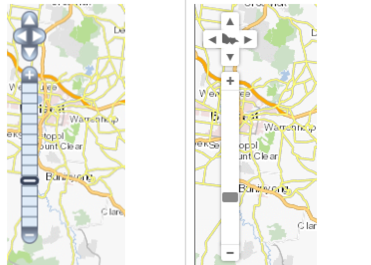
Users will be able to see subtle changes across all the features in LASSI for all LASSI profiles. Some of the map changes are shown below.
The look and feel of pan bar has been changed. The below image shows the differences.
Read More -->